Using Digital Mysteries as a general collaboration tool
Traditional paper based mysteries were designed to be collaborative, to encourage high quality exploratory talk and for ideas to be co-constructed by pupils as they 'shared their brains'. They were a strong part of infusing thinking skills into the subject curriculum. Digital Mysteries retain these advantages but add several new dimensions such as encouraging effective collaboration, provision of scaffolding, and support for reflection.
The use of Digital Mysteries is not limited to the existing set of predefined mystery tasks. Digital Mysteries can be used as a general thinking skills collaboration task using student or teacher prepared/collected contents. Instead of selecting a mystery from the library, it is possible to select any suitable folder on the computer and the application will display all the existing text files, images, video and audio files as slips (one slip per file). Students can manipulate these files, group them, and create associations just like a normal mystery and use all the application tools, follow the stages procedure and use the playback (reflection) features. This is a very significant tool for developing information management, planning and metacognitive skills.
This use is best illustrated by a concrete example.
The following scenario is adapted from an actual field trip for year 7 geography students. The students undertook a field visit to research the desirability and practicality of building a bypass to benefit the town of Warkworth, Northumberland. The visit took the students on a walk around the centre of the town and along by the river. They considered the facilities and amenities on the route, and also the geographical features of the river, the high ground upon which the castle is built, and the demands of the local farming industry. There are two possible routes for a proposed bypass, and students had to decide which would be the most suitable. In addition, theyconsidered the needs and requirements of the town's residents and its visitors, and how these relate to the need for a bypass.
Students were instructed to work into groups in gathering the data to evaluate whether a bypass is needed, and then explore and decide between the alternative proposed routes. The collected data includedphotos, video clips, and field notes.
Each group of students is then asked to put all their collected data (video clips, images, and notes as text files) into a folder and bring it to the school (using a USB memory stick). In the following geography session, the teacher asks the groups of students to use their collected data to answer the main question and a number of follow-up questions. The groups use the Digital Mysteries tool to explore their collected data, group them, and build association which helps them formulate their answer and use the data as evidence to support that answer.
The teacher will review the task and asks the main question.
You have been sent to examine and research the town of Warkworth, on the North East coast of England. The settlement of Warkworth grew around the Norman castle that is located there, and the castle ruins and the town itself continue to be a popular tourist attraction. You have been asked to decide whether the town needs a bypass to divert traffic away from the centre of the town, and, if so, where the bypass should be built.
The main question: Does Warkworth need a bypass?
Example follow-up questions are:
- What would be the advantages of a bypass for Warkworth?
- Would there be any disadvantages?
- What would the impact be upon the community?
- What would the impact be upon the environment?
- Should the bypass be built to the east or the west of the town?
- What are the various land uses in Warkworth?
- Why does Warkworth attract lots of visitors?
Following are example data collected by the students.
Written notes (as a number text files, maybe one from each student, or one for each topic)
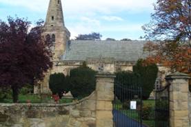
- Warkworth has a busy, popular church at one end of the main street.
- Some of Warkworth's shops are quite 'upmarket' design stores.
- Local people use the social club and church hall to meet for coffee and chat etc.
- The local mini supermarket takes regular deliveries of staple foods such as milk and bread.
- There are a number of private dwellings on the main street, and on side streets that lead off it.
- Between 10.30 and 10.35 am 27 cars were counted travelling through the town centre.
- At 10.34, two delivery lorries passed each other next to the War Memorial at the bottom of the street. Both stopped to make deliveries.
- 5 cars arrived in Warkworth between 10.30 and 10.45 and were parked while their occupants visited the local shops.
- Between 10 am and 10.15 am, the milk and dairy delivery lorry arrived.
- The bollards at the top of Castle Street show signs of having recently been repaired.
- There are double yellow lines on the main road
- A skip was parked on the main road.
- There are three bus stops on Castle Street in Warkworth.
- Warkworth has 3 restaurants and pubs that sell food, and 5 tea shops.
- Many people visit Warkworth to explore the Norman Castle. The castle is situated in high ground to the west of the town.
- Surrounding land on the east of the town is used for farming.
- Lots of the businesses rely on passing traffic for custom.
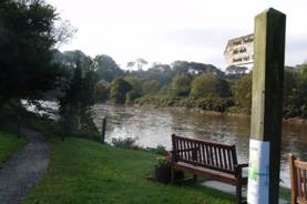
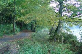
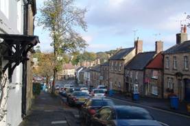
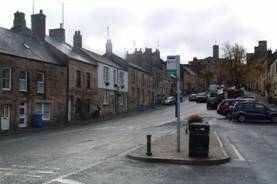
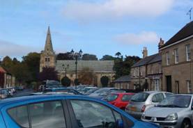
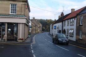
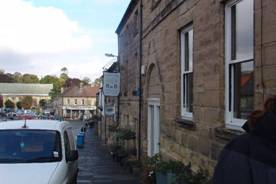
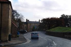
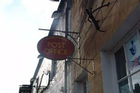
Pictures taken by students
The bridges
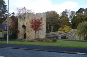
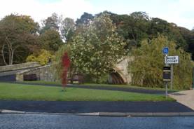
East site
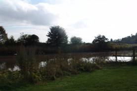
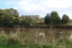
West site
Town centre
Download the text, images, and video to be used with this scenario
